Table of Contents
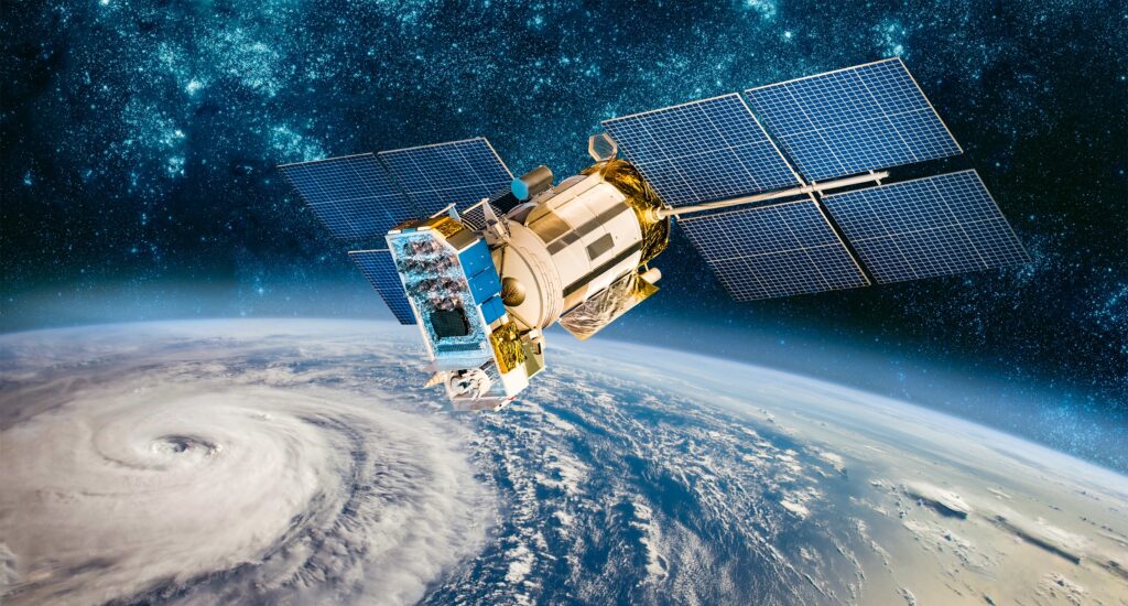
Using a satellite, a study run by the University of Oxford trained a machine learning model for the first time ever. This accomplishment could enable real-time monitoring and decision-making for a variety of applications, revolutionizing the capabilities of remote-sensing satellites.
Restrictions On Remote-Sensing Satellites
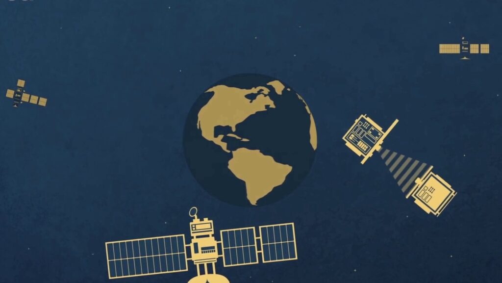
Many important tasks, such as aerial mapping, weather forecasting, and monitoring deforestation, depend on data gathered by remote-sensing satellites. Since they lack the capability to make judgments or recognize changes, the majority of satellites today can only passively collect data.
Instead, information must be transmitted to Earth for processing, which might take hours or even days. This restricts our capacity to recognize and react to rapidly developing events, like a natural disaster.

The First Machine Learning Model In Space
Researchers from the Department of Computer Science at the University of Oxford, under the direction of DPhil student Vt Rika, set out to train the first machine learning model in space in order to get around these limitations.
All About The New Machine Learning Model, RaVAEn
Researchers developed a model called RaVAEn, which uses few-shot learning to detect changes in cloud cover from aerial images onboard a satellite. The model compresses large image files into 128-number vectors, learning only informative values related to the change.
This results in fast training due to a small classification model. The model completed the training phase using over 1300 images in around one and a half seconds, demonstrating the efficiency of machine learning in detecting cloud changes.

Special Features Of The New Machine Learning Model
Researchers have developed a machine learning model that can be adapted to various tasks and data types. They aim to develop advanced models that can differentiate between natural changes and changes of interest, as well as models for complex data like hyperspectral satellite images.
This could help combat climate change and improve on-board satellite sensors’ calibration. The system could be used in non-homogeneous satellite constellations to recalibrate sensors that have degraded over time or experienced rapid environmental changes.
Professor Andrew Markham, supervisor of Vt’s DPhil research, explains machine learning’s potential for improving remote sensing by pushing intelligence into satellites. He further explained how space-based sensing is autonomous and overcomes delays in acquisition and action.

READ ALSO – IPO-Bound Ola Electric Lost $136 Million In FY23
With $335 million in revenue, Ola Electric, India’s largest e-scooter manufacturer, experienced an operational loss of $136 million last fiscal year.


